Have you ever gone out on a cold winter morning and felt like the world was fading into a soft, eerie haze? That is the mist that envelops everything in its soft arms. This fog is sometimes so dense that it turns even familiar streets into something barely recognizable.This fog is not only a sight to behold, it is a sign of how our planet’s atmosphere works dynamically, where cooling and condensation is like a touchable science experiment.In places like the northern plains or river valleys during winter, it remains quite dense and thick, slowing travel and muffling sounds, and in dense cities it combines with pollution and smoke to form smog.But why does this phenomenon occur in cold places and mainly in the cold winter months? Is it magic or pure science?

Why does fog appear more frequently in winter?
Fog is clouds on the ground.
Fog is basically a cloud that kisses the earth. It forms when water vapor in the air, including that from breath, plants, or nearby water, cools and turns into very small droplets that cannot be seen individually. These float suspended, thick enough to blur the view. Fog occurs when the air temperature approaches the dew point, within 2.5°C, causing condensation. On winter mornings, this magic reaches its peak when the nights cool the ground quickly.
Why is fog more commonly seen in winter?
Winter air is colder, so it can’t carry as much invisible water vapor as summer air. Hot air absorbs it like a sponge, but cold air squeezes it out into droplets. At night, the ground loses heat rapidly, cooling the air above it until it reaches saturation. NOAA sources confirm that the low capacity of cold air causes rapid fog on stable winter nights. That’s why foggy mornings are so common at that time.

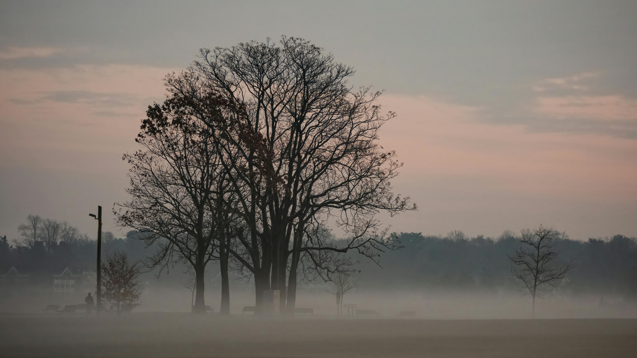
Foggy morning- Representative image
The calm winds catch the fog
Light or no wind in winter keeps cold, moist air pooled near the surface, and it does not mix to warm it due to the lower breeze. High pressure systems often cause these quiet nights, perfect for radiation fog. The soil radiates heat under a clear sky, cooling the top layer. Without a breeze, the fog just stays there, persistently.
The humidity of the day turns misty
Diurnal evaporation from soil, rivers or dew leaves a lot of water vapor floating. At night, when the temperature drops, rapid cooling condenses it overnight. Winter’s shorter days mean less sun to evaporate moisture, so it lingers like fog does. And in the northern hemisphere, this increases when dew turns into droplets on dust.

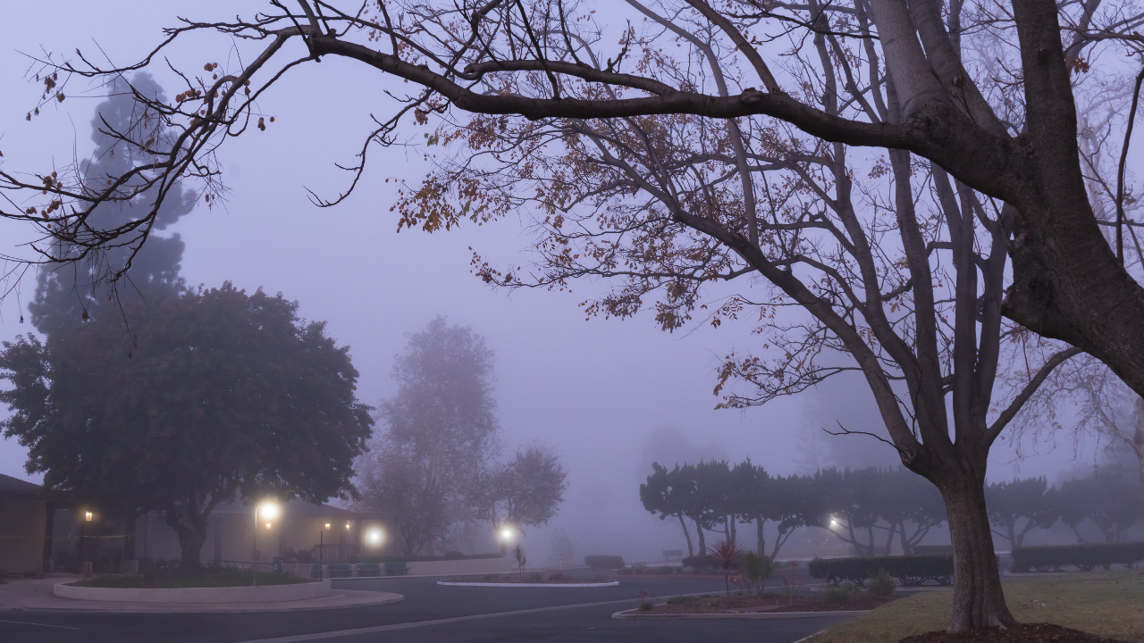
Foggy morning- Representative image
Why does winter beat other seasons?
During the summer months, temperatures remain high, so moisture remains in a gaseous state and is simply blown away by the breeze. Spring and fall have sudden temperature changes that shake things up. But in winter, when temperatures drop quite a bit, with long dark nights, less breeze and high pressure areas, it creates perfect magic to create fog, but also reduces visibility as it remains condensed even in lower areas, creating caution for safe driving.


.jpg?w=3800&h=2000&w=150&resize=150,150&ssl=1)


.jpg?w=3800&h=2000&w=1200&resize=1200,0&ssl=1)

